Tina Meier · 5 September 2026
Valley Schools Integrate Historic Cartography Resources Following Archive Digitization Initiative
Valley school districts completed a multi-year project that brought digitized historic cartography into classrooms across the region, with full integration rolling out during the start of the 2026 academic year. The effort followed the completion of an archive digitization initiative that converted thousands of paper maps, surveys, and related documents into accessible digital formats, and local education administrators coordinated with regional archives to incorporate these materials into geography, history, and environmental science curricula.
Background on the Digitization Project
Regional archives began the digitization work several years earlier after securing grants from state and federal sources, and teams scanned maps dating back to the 19th century that documented land use, river systems, and settlement patterns throughout the valley. Data from the project shows that more than 8,500 individual items received high-resolution imaging, metadata tagging, and online hosting by early 2026, which allowed schools to request classroom access without handling fragile originals. Observers note that the process aligned with broader efforts by institutions such as the National Archives to expand public access to geospatial records, although the valley initiative focused specifically on local holdings.
School technology coordinators worked with archivists to test pilot versions of the digital collections during the 2025 spring term, and feedback from those sessions guided adjustments to search interfaces and lesson-plan templates. Teachers reported that students responded positively to interactive overlays that compared historic boundaries with current satellite imagery, and administrators allocated additional professional development hours in summer 2026 to prepare staff for the wider rollout.
Classroom Implementation Details
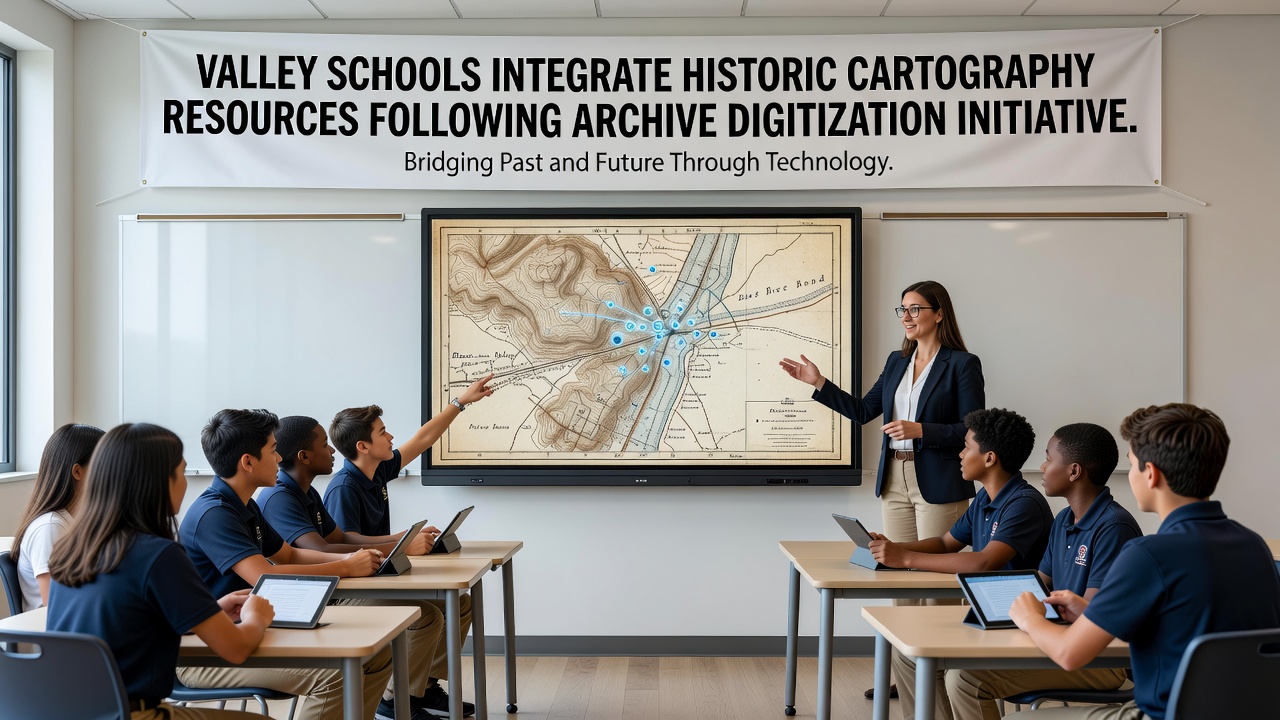
By September 2026, every middle and high school in the participating districts had loaded the cartography portal onto student devices, and elementary classrooms received curated subsets suitable for younger learners. Lessons incorporated map layers showing 1870s irrigation networks alongside modern water management data, which helped illustrate changes in agriculture and urban development over time. District curriculum specialists developed alignment guides that matched the resources to existing state standards for visual literacy and spatial reasoning, and they distributed these guides through an internal portal that teachers could update with new examples each semester.

Library media specialists played a central role in scheduling access and troubleshooting connectivity issues during the first weeks of the term, while parent information nights in October 2026 featured demonstrations of the platform so families could view the same materials at home. Usage logs collected through the district network indicate steady activity throughout the fall, with peaks occurring before major assessments that required map analysis skills.
Partnerships and Technical Support
The archive digitization initiative relied on collaboration between county historical societies, university geography departments, and local school boards, and each partner contributed staff time or equipment. A nearby research university supplied graduate assistants who helped refine metadata standards, and a state library consortium provided server space that kept the collection available during peak usage periods. Technical teams addressed compatibility concerns with older student devices by creating lightweight versions of the map viewer that maintained core functionality without requiring the latest operating systems.
Training sessions occurred at multiple sites throughout the valley, and participants received printed quick-reference cards along with video tutorials hosted on the district website. Those sessions covered topics such as citation practices for historic sources and methods for guiding students through scale and projection differences between 19th-century surveys and contemporary GIS layers.
Outcomes Observed in Early Adoption
Assessment data gathered after the first quarter of the 2026-2027 school year showed measurable gains in student performance on map-reading sections of standardized tests, and teachers noted increased engagement during units that previously relied on static textbook illustrations. Researchers from a regional education laboratory began collecting longitudinal data in November 2026 to track whether repeated exposure to primary cartographic sources influences long-term retention of geographic concepts. Preliminary figures reveal higher rates of voluntary exploration of the archive portal outside assigned classwork, particularly among students who accessed the materials through after-school programs.
Community members with personal connections to the historic maps contributed oral history recordings that archivists linked to specific documents, and several schools hosted evening events where descendants of early surveyors discussed the stories behind the lines on the maps. These events extended the reach of the initiative beyond school hours and created additional context that teachers could reference during daytime lessons.
Conclusion
The integration of digitized historic cartography into valley schools represents a sustained coordination between archives and education systems that began with grant-funded scanning and continued through structured classroom adoption. Ongoing maintenance of the digital collections and periodic updates to lesson materials remain scheduled through at least 2028, and district reports indicate plans to expand similar access to elementary feeder schools that have not yet received full device compatibility. The project continues to draw on partnerships with institutions such as the National Library of Australia for comparative best practices on geospatial metadata, ensuring the valley resources stay aligned with evolving international standards.